Scofield trail guide

Hundreds of miles of trail, right out the door.

Maps for every way to explore Scofield — dirt bikes, ATVs and UTVs, mountain bikes and hiking boots. Tap any card to open the map.

Off-road maps Mountain biking Hiking
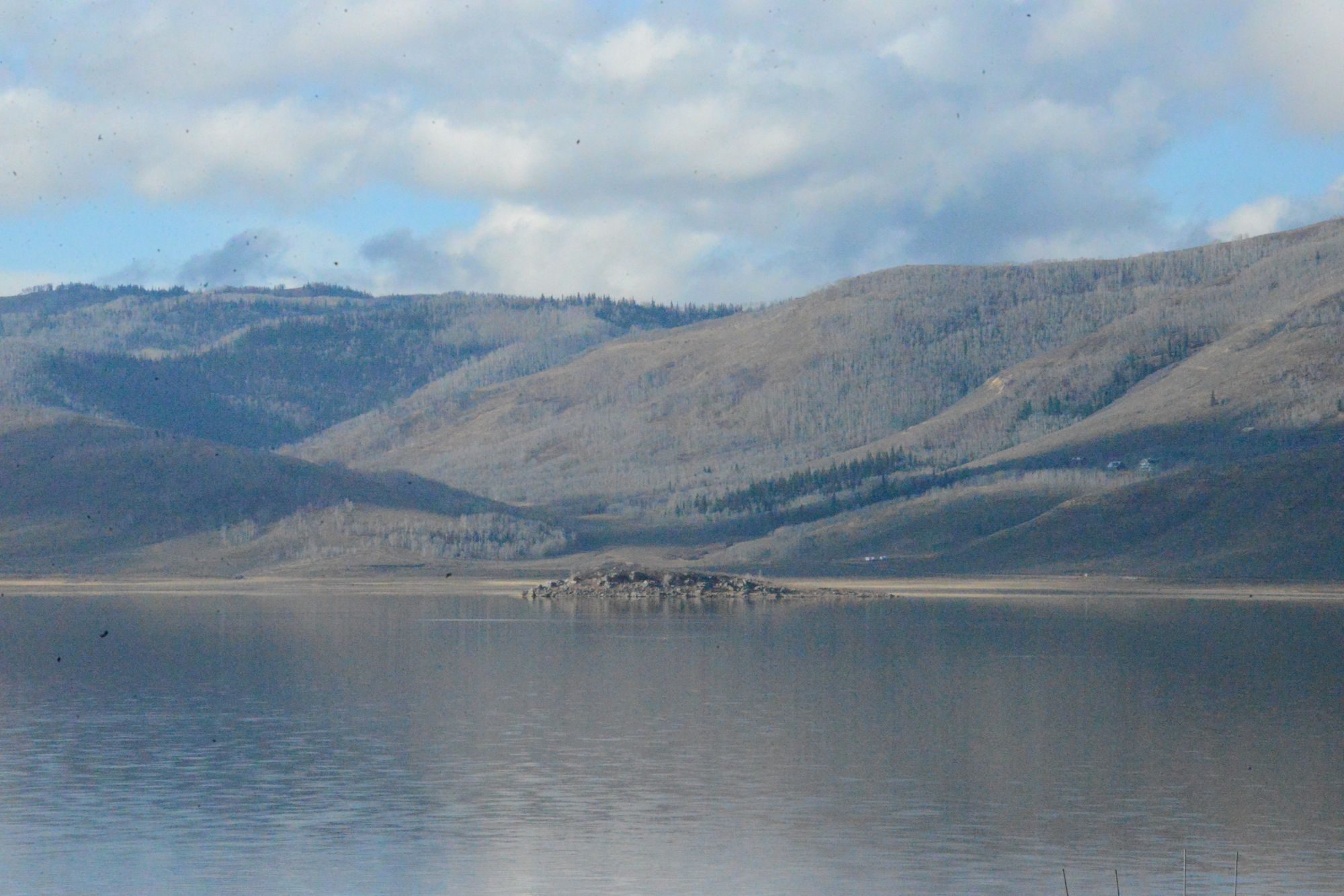
Forested mountains rising above Scofield Reservoir

Dirt bikes, ATVs & UTVs

Unload at the house and ride. Starvation Canyon, Bear Ridge and Skyline Drive all branch off around the lake and connect into hundreds of miles of mapped trail.

Dirt bikes · ATVs · UTVs

Scofield–Tucker OHV Loop

A 38-mile loop on graded roads that starts at the northwest end of Scofield State Park. Beginner-friendly, about a half day, with spots to stop and fish. The guide includes a route map, a downloadable GPS track and 360° trail views.

Open loop map
Dirt bikes · ATVs · UTVs

Starvation Road & Bear Ridge

Starvation Road (FS 0009) winds through Starvation Canyon from US-6 near the north end of Skyline Drive to Bear Ridge (FS 50008), which runs between Skyline Drive and the lake. Both are rated easy and usually open spring through fall.

Open trail maps
Dirt bikes · ATVs · UTVs

North Skyline Drive

The high ridgeline route above Scofield, climbing toward 11,000 feet with views across the Wasatch Plateau. A gateway to miles of connecting trails and backcountry camping.

Open route map
Dirt bikes · ATVs · UTVs

Arapeen OHV Trail System

More than 350 miles of connected riding along Skyline Drive in the Manti-La Sal National Forest. Free downloadable maps and suggested day rides, including loops past mountain lakes. Some sections have width limits.

Free Arapeen maps
Dirt bikes · ATVs · UTVs

Interactive trail finder

An interactive map of every mapped trail between Scofield and Tucker. Filter by dirt bike or ATV, and by vehicle width, to see what fits your machines.
Open interactive map

Mountain biking

From mellow lakeside cruising to all-day high-country rides, with plenty of singletrack in between.

Mountain biking

Scofield & Tucker trail map

About 18 mountain bike trails on an interactive map, with difficulty ratings from easy green to black diamond, plus e-bike and gravel options.

Open bike map
Mountain biking

North Skyline Drive trails

High-country singletrack and doubletrack along Skyline Drive, with long descents back toward the reservoir.

Open Skyline trails
Mountain biking

Fish Creek Trail by bike

Usually ridden downhill from North Skyline Drive toward Fish Creek Campground above the reservoir — a classic shuttle ride following the creek.

Open trail map
Mountain biking · Advanced

Skyline Drive epic

For strong riders: a multi-day, high-altitude dirt-road ride along the top of the Wasatch Plateau. Riders can begin from Scofield Lake and head south.

Read the ride guide

Hiking

Aspen groves, creek-side trails and big views over the reservoir. Bring the kids, the fishing poles, or both.

Hiking · Our top pick

Fish Creek National Recreation Trail

A 9.6-mile trail from Fish Creek Campground, a short drive from the reservoir, up to Skyline Drive, climbing about 1,080 feet with two bridged creek crossings. Many families hike and fish just the lower 2–3 miles. Watch for deer, elk, moose and eagles.

Trail mapForest Service info
Hiking

All hiking trails near Scofield

An interactive map with about 19 hiking trails around Scofield and Tucker. Switch the map to hiking to see trailheads, distances and elevation.

Open hiking map
Hiking · Easy

Scofield Reservoir East Shore

A short, flat walk along the east shore inside Scofield State Park — good for little kids, birding and an easy evening stroll. Dogs welcome on leash.

Open trail map

Plan your adventure

A few handy links before you head out.

Plan your trip

Scofield State Park

Boat ramps, day-use areas, campgrounds and current park info. Guests launch boats here, then tie up at the house.

Visit park site
Plan your trip

KJ’s Catch N Snack

Fuel, bait, snacks and local advice right in town — ask which trails are open and where the fish are biting.

KJ’s on Facebook
Plan your trip

Ride & hike smart

Conditions and seasonal closures change, especially on Skyline Drive in early spring. Stay on designated routes, respect private property and posted signs, and carry water, layers and a map — cell service is spotty in the mountains.

Back to the Lakehouse